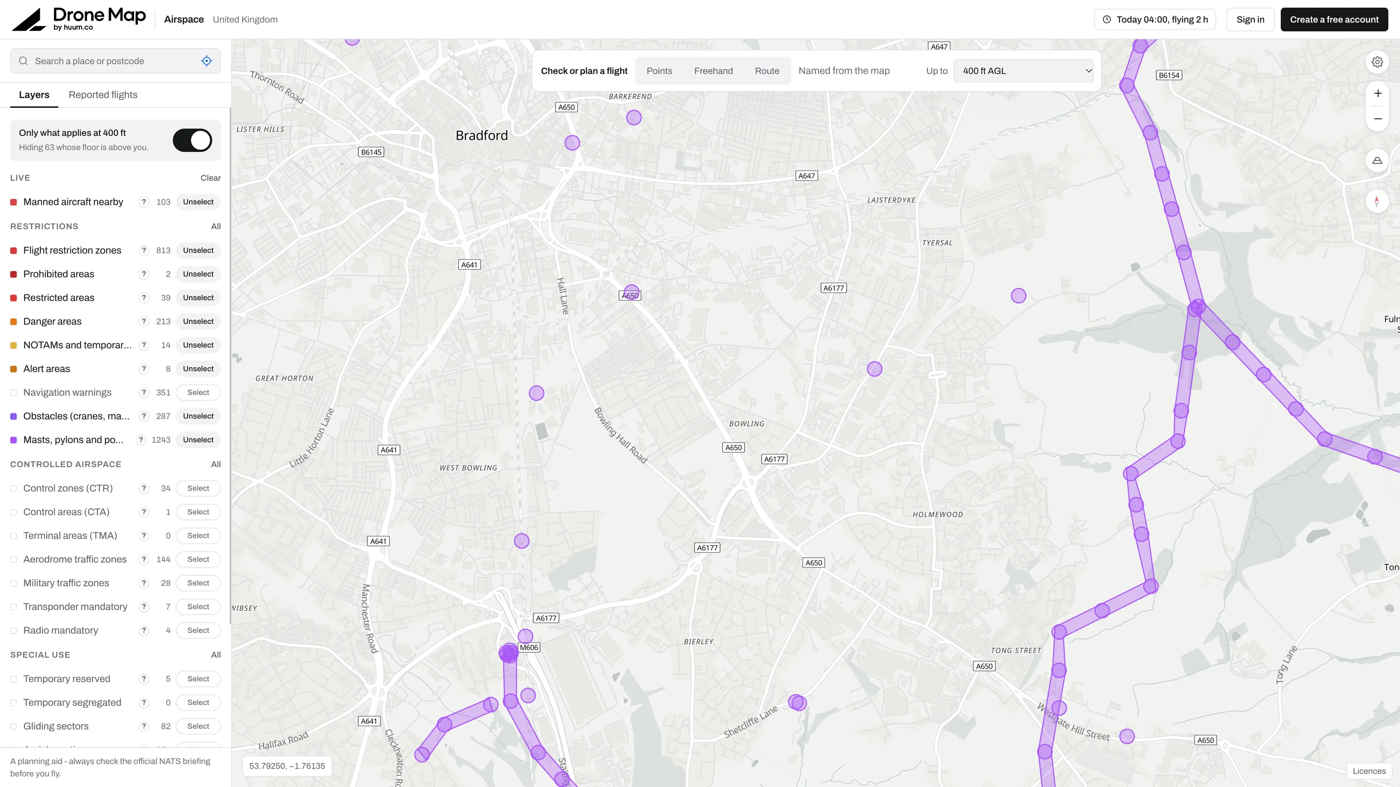
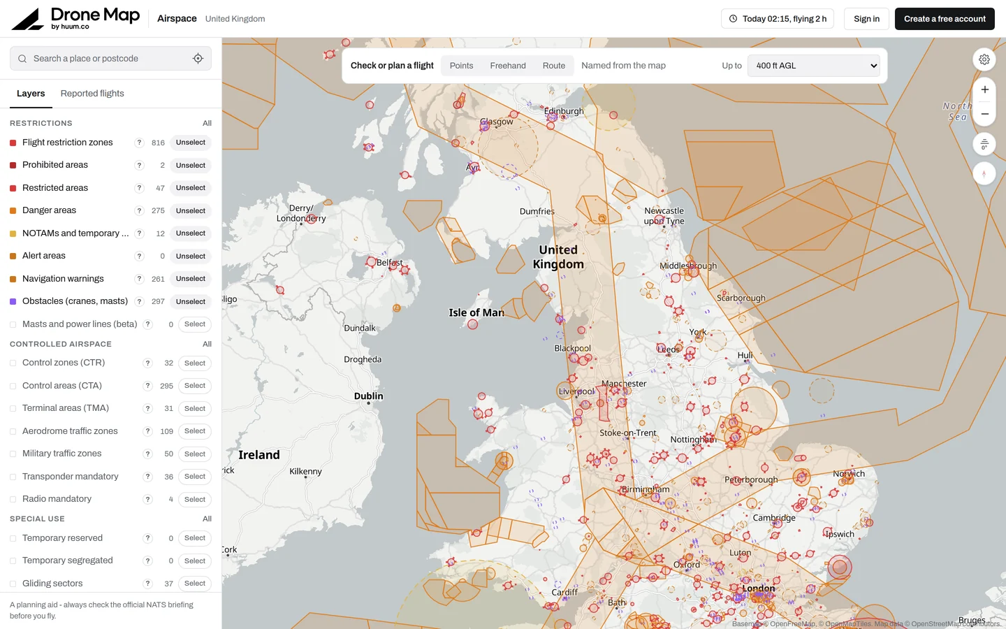
UK airspace on one map. Flight restrictions, danger areas, NOTAMs and obstacles in a single layer stack, so a commercial pilot can clear an airspace before flying. A sub-brand of Huum.
- Delivered
- Strategy, Branding, Website
- Role
- Design, build
- Year
- 2025
- Status
- Live
One map, every layer a pilot needs before take-off.
What it does
Pulls the restriction, danger area, NOTAM and obstacle feeds into one view with toggles per layer.
Part of Huum
Drone Map sits under the Huum brand. Strategy, the sub-brand identity and the product site were all done as one piece of work.
Built with
 Claude Code
 GitHub
 Vercel
 Supabase
 Next.js
 Stripe
 Resend
Integrations and data
- NOTAM data
- Airspace APIs
Want one like this?
Tell me what you are building and I will tell you honestly how I would approach it.